MicMac Support Lands in WebODM

May 26th, 2019

Continuing our recent announcement about MicMac integration, today we are pleased to announce that support for NodeMICMAC in WebODM is now available! We have started making changes to the NodeODM API to accommodate a more engine agnostic definition, which will continue in the future to improve the synergy between projects. Existing WebODM users (using docker) can get up and running with MicMac by simply typing: ./webodm.sh update ./webodm.sh restart –with-micmac Kudos to the DroneMapper team for the development of NodeMICMAC […]

Stitching Historical Aerial Images From 1940 Using OpenDroneMap

May 17th, 2019

During the recent OSGeo Code Sprint hosted at the University of Minnesota, we had the opportunity to learn more about the university’s effort to preserve some historical archives of aerial imagery. We put our eyes on an old 1940 dataset of Hennepin County, Minnesota. The images are overlapping by about 20-30%. There’s also paper tears in many of the scans. We had never tried this before. Would it be good enough for ODM to process? We had to find out. […]

Introducing Contours in WebODM

April 2nd, 2019

With the 0.9 release of WebODM we are introducing the ability to preview and export contours directly from map view. This has been a much requested feature and we decided to take on the work to implement it. Behind the curtains we used the GRASS GIS engine which already powers the volume measurement plugin to do the contours calculation, with some help from GDAL/OGR. The beauty of using a familiar language to power these computations is that it’s really easy […]

What’s new in WebODM 0.8.2

March 20th, 2019

Today I merged WebODM version 0.8.2 into master. It includes a long needed feature to make plugin management easier. No more command line, no restart needed. Simply log-in into the Administration panel and toggle the plugins you need. It also features some bug fixes and minor improvements. Guess what we are going to do next.

OpenDroneMap Book Announced

February 28th, 2019

OpenDroneMap’s documentation is a bit… missing. Not because the information is not available. Between the various documentation pages, the community forum and the source code (yes that’s a form of documentation) it’s quite possible to learn the ins and outs of the project. But nobody has had the time or willingness to write a more cohesive and central source of information. I have no hope that some contributor will come along anytime soon to fill this need. So today I’m […]

WebODM 0.8.1 is out! Improvements and Task Imports.

February 21st, 2019

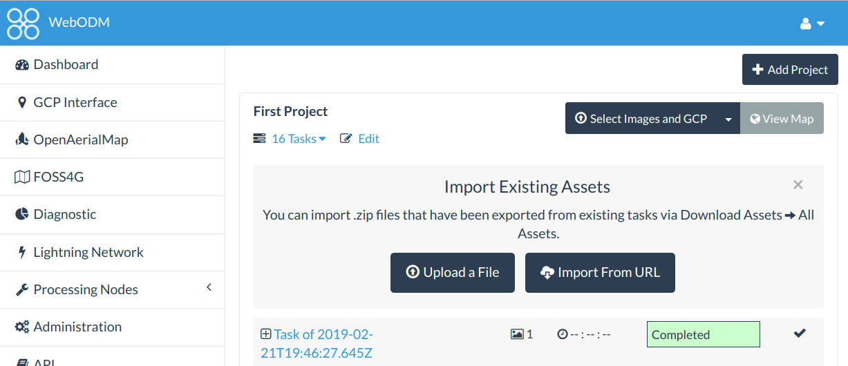
Today we’ve released version 0.8.1 of WebODM. It features several improvements including: Ability to import tasks that have been processed on another WebODM instance (or via webodm.net or NodeODM). Custom TMS/XYZ basemaps and no basemap toggle. Review step prior to processing a dataset, which should reduce mistakes when creating a new task and selecting the wrong node or options. New UI colors. Simplified process for starting a development environment (deprecated the devenv.sh script in favor of a –dev flag to […]

On Running OpenDroneMap Natively on Windows

February 12th, 2019

OpenDroneMap has been quickly gaining a lot of interest. Since we’ve managed to put a UI (WebODM) and ported it (via docker) on all major platforms, it’s usage has increased hundred folds. The problem still remains that even with installers that help “hide” the complexities of docker, Windows setups in particular tend to be sub-optimal due to the VM overhead of MobyLinux and the various, frequent hiccups that docker has on Windows (including totally losing a container’s network for just […]

Announcing CloudODM and PyODM

January 23rd, 2019

2019 is off to a great start for OpenDroneMap. We are announcing the releases of two open source projects, CloudODM and PyODM. Let’s explore each. CloudODM Photogrammetry is a memory intensive process. Not all computers are equipped with large amounts of RAM or powerful CPUs. And of course, we’d like ODM’s capabilities to be available on as many platforms and machines as possible. CloudODM is a command line tool to process aerial imagery in the cloud via NodeODM‘s API. Small, native […]

Better Everything: Announcing OpenDroneMap 0.4

September 12th, 2018

After much anticipation, we are proud to announce the 0.4 release of OpenDroneMap. We have given a preview of what was coming in a previous blog post and in this post we want to expand on what you can get today from the program. Attention! We have normalized –orthophoto-resolution and –dem-resolution to use the de-facto industry standard unit of cm / pixel. This is a breaking change, so please update your scripts if the output resolutions are lower than what you would expect. Much Denser Point […]

Toward Real-Time Drone Mapping

August 18th, 2018

OpenDroneMap does an excellent job at post-processing aerial images. Fly the drone, download the images, process, wait a few hours and get your maps and 3D models. What about real-time? Real-time reconstructions present several challenges and requires a different approach. For starters, using only images as input, without an RTK system and accurate IMUs (better GPS and inertial sensors) you just can’t estimate the camera positions quickly enough. By relaying just on standard GPS and the on-board camera pitch/yaw/roll readings, […]