What’s new in WebODM 0.8.2

March 20th, 2019

Today I merged WebODM version 0.8.2 into master. It includes a long needed feature to make plugin management easier. No more command line, no restart needed. Simply log-in into the Administration panel and toggle the plugins you need. It also features some bug fixes and minor improvements. Guess what we are going to do next.

OpenDroneMap Book Announced

February 28th, 2019

OpenDroneMap’s documentation is a bit… missing. Not because the information is not available. Between the various documentation pages, the community forum and the source code (yes that’s a form of documentation) it’s quite possible to learn the ins and outs of the project. But nobody has had the time or willingness to write a more cohesive and central source of information. I have no hope that some contributor will come along anytime soon to fill this need. So today I’m […]

WebODM 0.8.1 is out! Improvements and Task Imports.

February 21st, 2019

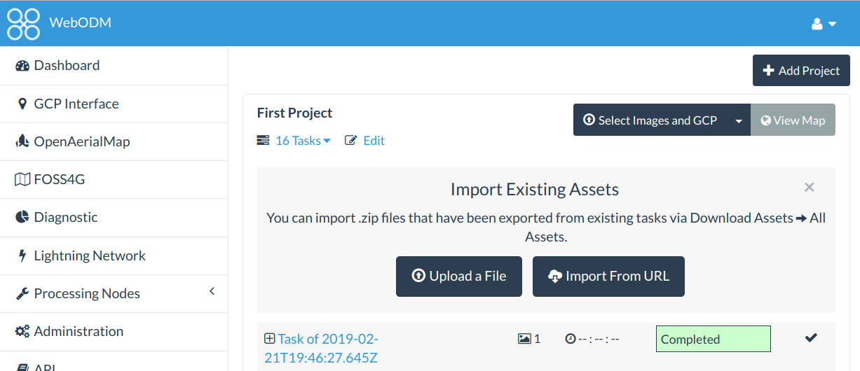
Today we’ve released version 0.8.1 of WebODM. It features several improvements including: Ability to import tasks that have been processed on another WebODM instance (or via webodm.net or NodeODM). Custom TMS/XYZ basemaps and no basemap toggle. Review step prior to processing a dataset, which should reduce mistakes when creating a new task and selecting the wrong node or options. New UI colors. Simplified process for starting a development environment (deprecated the devenv.sh script in favor of a –dev flag to […]

On Running OpenDroneMap Natively on Windows

February 12th, 2019

OpenDroneMap has been quickly gaining a lot of interest. Since we’ve managed to put a UI (WebODM) and ported it (via docker) on all major platforms, it’s usage has increased hundred folds. The problem still remains that even with installers that help “hide” the complexities of docker, Windows setups in particular tend to be sub-optimal due to the VM overhead of MobyLinux and the various, frequent hiccups that docker has on Windows (including totally losing a container’s network for just […]

Toward Real-Time Drone Mapping

August 18th, 2018

OpenDroneMap does an excellent job at post-processing aerial images. Fly the drone, download the images, process, wait a few hours and get your maps and 3D models. What about real-time? Real-time reconstructions present several challenges and requires a different approach. For starters, using only images as input, without an RTK system and accurate IMUs (better GPS and inertial sensors) you just can’t estimate the camera positions quickly enough. By relaying just on standard GPS and the on-board camera pitch/yaw/roll readings, […]